The Best Walking and Cycling Routes in the Calder Valley
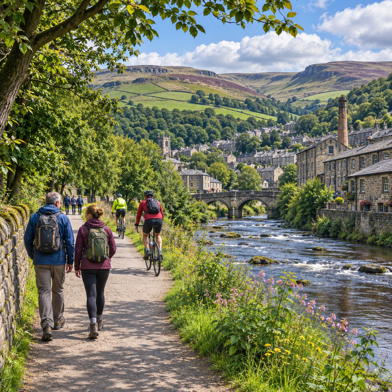
The Calder Valley rewards both a gentle riverside outing and a full day on the hills. Its towns sit between the River Calder and steep Pennine slopes, with canal towpaths, valley paths and moorland trails offering very different ways to explore.
There is no single route that suits everyone. This guide compares easier paths with more demanding walks, highlights links between Hebden Bridge, Mytholmroyd and Todmorden, and explains what to check before setting out.
Exploring the Calder Valley on foot or by bike
The Calder Valley offers a mix of level waterways, town-to-town trails and steep upland walks, so visitors can choose by effort, time and scenery. The River Calder and Rochdale Canal form a natural spine through the valley, while lanes and paths climb towards open moorland.
For a relaxed outing, stay near the valley floor: the canal towpath and riverside routes bring you close to the water and the communities built along it. For wider views, head uphill from towns such as Hebden Bridge or Todmorden, where gradients can rise quickly and surfaces become rougher.
Walkers can use sections of long-distance paths including the Pennine Way and Brontë Way, but these are not short, level circuits by default. Check the route description and map before joining a section. Cyclists may prefer the Calder Valley Greenway and other valley-floor links, while remembering that some paths are shared with pedestrians and may not be suitable for fast riding.
Riverside and canal routes for an easier outing
The Rochdale Canal towpath and paths beside the River Calder are good starting points for a lower-effort trip. Their relatively gentle valley-floor lines make them easier to adapt than hill routes, though surfaces, steps, access points and shared use vary by section.
A stroll along the canal near Hebden Bridge can be paired with time in town, or extended towards Mytholmroyd. The waterway offers a close-up view of locks, bridges and the built landscape of the valley. Towpaths are often narrow, and can be muddy or uneven after rain; cyclists should slow down around walkers, dogs and blind bends.
Riverside paths provide another way to explore the valley without committing to a climb. Their exact alignment and condition can change, so do not assume every stretch is continuous or step-free. Check access information locally if you need a firm surface, a particular crossing point or an accessible route.
The Calder Valley Greenway is worth investigating for a cycling outing, especially if you want to keep to the valley rather than tackle steep hills. Look up the current route and surface details before leaving: a named trail may include different path types, crossings or shared sections, not a uniform traffic-free track.
Hill and moorland walks with wider views
For bigger views across the Calder Valley, choose a route that climbs out of the towns towards the Pennine moors. The reward is open upland scenery, but steep gradients, exposed weather and rougher ground make these walks more demanding than canal-side outings.
Sections of the Pennine Way offer a taste of the high country, while the Brontë Way links landscapes associated with the Brontë family and the surrounding Pennine communities. Both are long-distance routes, so plan a manageable section rather than treating the full trail as a casual walk. Use a current map to confirm start and finish points, distance and escape options.
Local paths above Hebden Bridge, Mytholmroyd and Todmorden can also lead to viewpoints and open hillside. The practical challenge is often the climb from the valley floor. A short route on a map can still involve sustained ascent, stiles or uneven ground. Walking boots or sturdy shoes, water and a weatherproof layer are sensible choices; visibility and wind can change quickly on higher ground.
These routes suit walkers who are comfortable navigating away from the towns. If conditions are poor, or the group includes inexperienced walkers, a lower-level alternative may make for a safer and more enjoyable day.
Routes connecting Calder Valley towns
Valley-floor paths and canal sections can connect Hebden Bridge, Mytholmroyd and Todmorden, making town-to-town journeys a practical option for walkers and some cyclists. The main advantage is flexibility: you can travel one way and check train or bus options for the return.
A walk between Hebden Bridge and Mytholmroyd can follow parts of the Rochdale Canal or nearby valley paths, with the exact choice depending on access and conditions. Continuing towards Todmorden makes for a longer outing. Rather than rely on a fixed distance from a general guide, check the route on a current map and confirm where the path meets roads, bridges or station access.
The towns themselves make useful route anchors. Hebden Bridge offers a compact base for canal and hillside walks; Mytholmroyd sits along the valley corridor; and Todmorden provides a further point from which to explore the surrounding slopes. Local businesses and public spaces can add a stop, but check opening times and facilities independently.
For cycling, the Greenway and other valley routes may help link sections, but route continuity and surface quality matter. A connection that works well on foot may include narrow, rough or shared paths that are less comfortable on a bike.
Choosing a route to suit your day
Choose a Calder Valley route by matching its terrain and surface to your group, then check the distance and return plan. As a broad guide, a short canal stroll is usually the easiest option, a town-to-town journey takes more planning, and a moorland walk demands the most fitness and navigation.
Use this comparison as a starting point, not a promise of exact travel time. Pace, weather, path condition and stops can all change how long a route takes.
- Gentle outing: Choose a short section of canal towpath or riverside path. Best for a flexible walk, but check for mud, narrow sections and steps.
- Family day out: Pick a route with a clear turnaround point near a town or transport link. Keep children close on shared paths and near water; avoid assuming every towpath suits pushchairs.
- Town-to-town walk: Link Hebden Bridge, Mytholmroyd or Todmorden using a mapped valley route. Confirm the distance, crossings and return transport before setting off.
- More challenging walk: Select a measured section of the Pennine Way, Brontë Way or a local hill path. Allow for ascent and carry navigation and weather-appropriate clothing.
- Easy-paced cycling: Look for a suitable section of the Calder Valley Greenway or another mapped valley-floor route. Check surface type and shared-use rules, and keep speed appropriate to the path.
When comparing options, think beyond kilometres. A short steep walk can be more tiring than a longer flat one, while a towpath may be easy underfoot in dry weather and slow going after rain. If anyone in your group has access needs, verify the route’s surface, gradients, gates and crossings before travelling.
Plan ahead: access, transport, and safety
Before heading out, check current path conditions, the weather and your transport options. A little preparation helps you avoid closed or muddy sections, exposed hill conditions and a difficult return journey.
Rail services in the Calder Valley can make one-way walks between towns possible, but timetables and service changes vary. Check current information with the operator before departure, and have an alternative return plan. For route access and local path updates, consult the relevant local council or official trail guidance. National Trails’ Pennine Way information can help with planning that route.
Pack for the terrain rather than the forecast at the station. On higher ground, carry a map or reliable offline navigation, water, a charged phone and an extra layer. Tell someone your plan if you are heading onto moorland, and turn back if visibility or conditions make navigation uncertain.
On shared paths, give way considerately and slow down when approaching walkers, dogs and horses. Near the River Calder or canal, watch for slippery edges and keep children within reach. A route that looks straightforward on a screen may include gates, steps or surface changes, so check those details if they matter to your group.
Frequently asked questions
Which Calder Valley routes are suitable for beginners? Short sections of the Rochdale Canal towpath or valley-floor riverside paths are usually the simplest place to start. Check the specific access points and surface, then choose a clear turnaround point.
Are there family-friendly walks or cycle routes? Yes. Canal and valley-floor paths can suit a family outing, but conditions and access vary. Keep children close near water and use only cycling sections appropriate to their confidence and ability.
Can you reach the routes by public transport? The valley towns are linked by public transport, and trains may suit a one-way walk. Check live timetables, station access and service updates before relying on a connection.
What should you check before heading out? Confirm the route, distance, ascent, surface, weather and any access notices. For a one-way trip, check return transport too.